
📊 Full opportunity report: The Eye Over The City: How Wide-Area Motion Imagery Works — And Where It Goes Blind on ThorstenMeyerAI.com — validation score, market gap, and execution plan.
TL;DR
Wide-Area Motion Imagery (WAMI) allows authorities to monitor entire cities in real-time, tracking all moving objects and recording data for later analysis. Its integration with radar enhances all-weather, continuous surveillance capabilities.
Wide-Area Motion Imagery (WAMI) is revolutionizing urban surveillance by enabling a single sensor to monitor entire cities in real-time, capturing every vehicle and pedestrian movement across several square kilometers. This technology’s capability to record and archive all activity makes it a valuable tool for law enforcement, military, and emergency response, raising considerations related to privacy and governance.
WAMI systems, such as DARPA’s ARGUS-IS, utilize thousands of cameras stitched into a single gigapixel image, providing detailed coverage from high altitudes. These sensors detect and track moving objects, allowing analysts to rewind footage and trace movements back to their origins. The system’s ability to record continuous data makes it a form of persistent surveillance, with applications ranging from battlefield reconnaissance to wildfire mapping and disaster response.
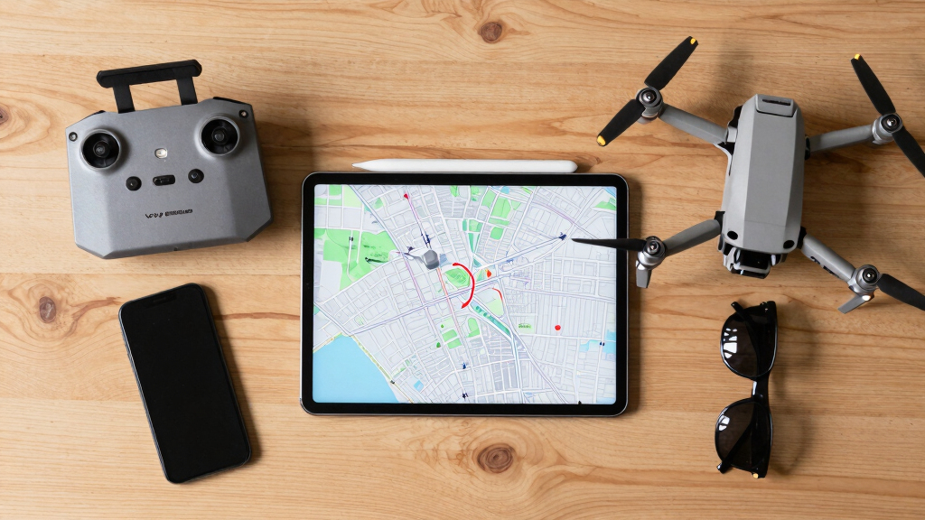
Operationally, WAMI relies heavily on advanced AI for real-time data processing, as the sheer volume of data generated exceeds human capacity for live monitoring. Platforms hosting WAMI sensors include aircraft, drones, tethered aerostats, and helicopters. However, the technology faces inherent limitations, such as sensitivity to weather conditions and the need for loitering platforms, which can be costly and sometimes contested or denied access in hostile environments.
The eye over the city: how Wide-Area Motion Imagery works — and where it goes blind
A normal drone sees through a soda straw. WAMI watches an entire city at once, tracks every mover, and records it all for forensic rewind. Immense reach — with hard limits that make radar and AI its necessary partners.
- City-scale motion, fine detail
- Forensic rewind
- Cloud / smoke / dark degrade it
- Needs a platform loitering overhead
sensing
+ AI
- Sees through cloud & total dark
- Tasked over denied airspace
- Persistent, wide-area from orbit
- Sovereign · on-prem · air-gap
The same archive that traces a bomber to a safe house can trace anyone home — retroactively, without prior suspicion. Baltimore’s secret 2016 deployment led to a 2021 federal ruling that persistent aerial tracking violated the Fourth Amendment. The security value is real; so is the mass-surveillance risk. Who owns the sensor, the archive, and the AI is the accountability question.
WAMI’s power is the archive and the AI reading it; its weakness is weather, airspace, and oversight. The mature posture isn’t optical-vs-radar or capability-vs-liberty — it’s layered sensing (optical WAMI + all-weather SAR), AI-enabled exploitation, and sovereign, auditable control of the whole chain. WAMI shows what a persistent eye can do with clear skies and owned airspace; for the cloud, the night, and the denied area, the radar layer is where the resilient coverage lives.
Implications of WAMI for Urban Security and Privacy
WAMI’s capacity to monitor entire cities continuously offers increased situational awareness, supporting law enforcement, border security, and disaster management efforts. However, this level of surveillance raises important questions regarding governance, data use, and civil liberties. Its reliance on AI and automation underscores the importance of establishing appropriate regulatory frameworks to prevent misuse and ensure oversight.
Hiseeu 12MP PoE Security Camera System, 8 Pcs 12MP Security Cameras, 121° Wide View, Person Vehicle Detect, 2-Way Audio, Soptlights Color Night Vision, 16 CH PoE NVR with 4TB HDD for Home Surveillance
- 12MP UHD Image Quality: Vivid details day and night
- 16-Channel Expandability: Connect up to 16 cameras
- 121° Wide-Angle Lens: Broader field of view
As an affiliate, we earn on qualifying purchases.
As an affiliate, we earn on qualifying purchases.
Evolution and Current Use of WAMI Technology
Developed in the early 2000s at Lawrence Livermore National Laboratory, WAMI transitioned into military applications by the mid-2000s, with systems like DARPA’s ARGUS-IS and the US Air Force’s Gorgon Stare. These sensors have been deployed on drones and aircraft in conflict zones, primarily for network discovery and battlefield intelligence. Beyond military use, agencies like the US Forest Service and National Guard have adopted WAMI for wildfire mapping and disaster response, demonstrating its expanding civilian utility.
“WAMI doesn’t replace radar or traditional video; it complements them by filling in critical gaps in coverage and detail.”
— John Marion, former project lead at Lawrence Livermore
Limitations and Challenges of WAMI Deployment
While WAMI offers broad coverage, it faces challenges such as weather dependence, limited night operation without thermal IR, and high operational costs. Its effectiveness diminishes in cloud cover, haze, and smoke, and contested airspace can restrict deployment. The integration with radar aims to mitigate these issues, but the full capabilities and limitations of layered sensing are still evolving and subject to technological and geopolitical constraints.
Future Developments in WAMI and Sensor Fusion
Advances in AI and sensor fusion are expected to enhance WAMI’s real-time processing and accuracy. Efforts are underway to better integrate optical WAMI with synthetic aperture radar (SAR) systems, enabling persistent, all-weather, day-and-night surveillance. Deployment of smaller, more affordable sensors on tactical platforms and satellite constellations could expand coverage, but regulatory and privacy frameworks will influence how these technologies are adopted.
Key Questions
How does WAMI differ from traditional surveillance cameras?
WAMI covers entire city areas in a single frame, tracking all moving objects simultaneously, unlike traditional cameras that focus on narrow fields of view and require manual monitoring.
What are the main limitations of WAMI technology?
WAMI is optical, so weather conditions like fog, smoke, and darkness impair its effectiveness. It also requires loitering platforms, which are costly and sometimes contested, and generates enormous data volumes that need AI for processing.
Can WAMI operate in all weather conditions?
Not fully; optical sensors are hindered by weather phenomena. Integration with radar systems like SAR can provide all-weather coverage, complementing WAMI’s capabilities.
What are the privacy concerns associated with WAMI?
The ability to record and archive entire cityscapes raises concerns over civil liberties, data security, and oversight, especially if used for civilian surveillance without proper governance.
What are the next technological steps for WAMI?
Developments include AI-driven real-time analysis, sensor fusion with radar, smaller and more mobile sensors, and potential satellite-based wide-area imaging, all within evolving regulatory environments.
Source: ThorstenMeyerAI.com